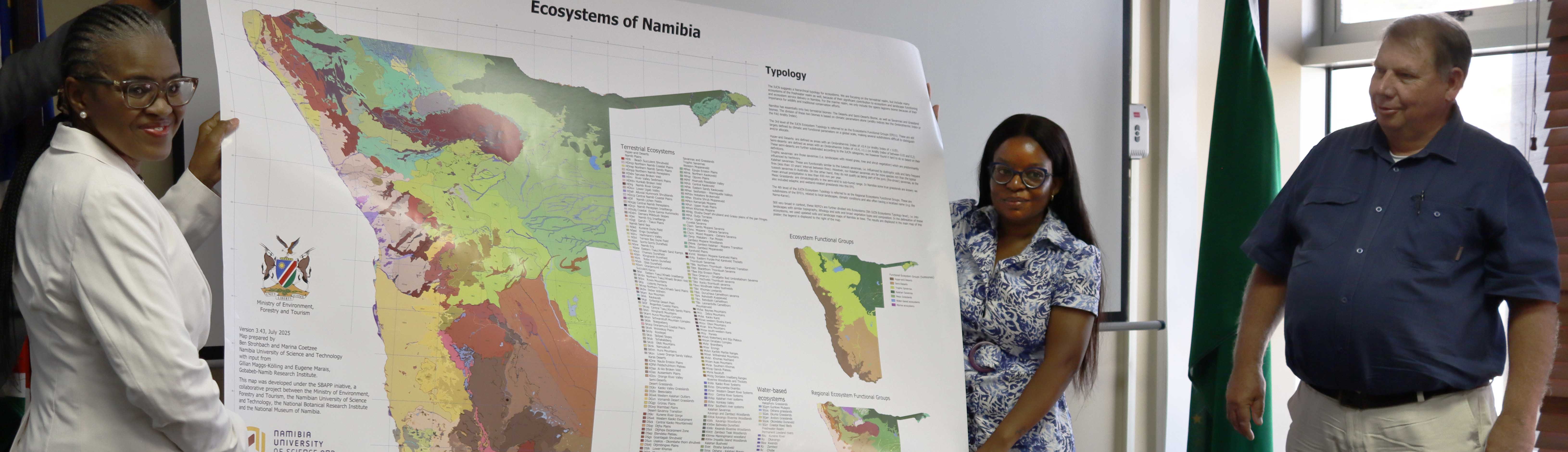
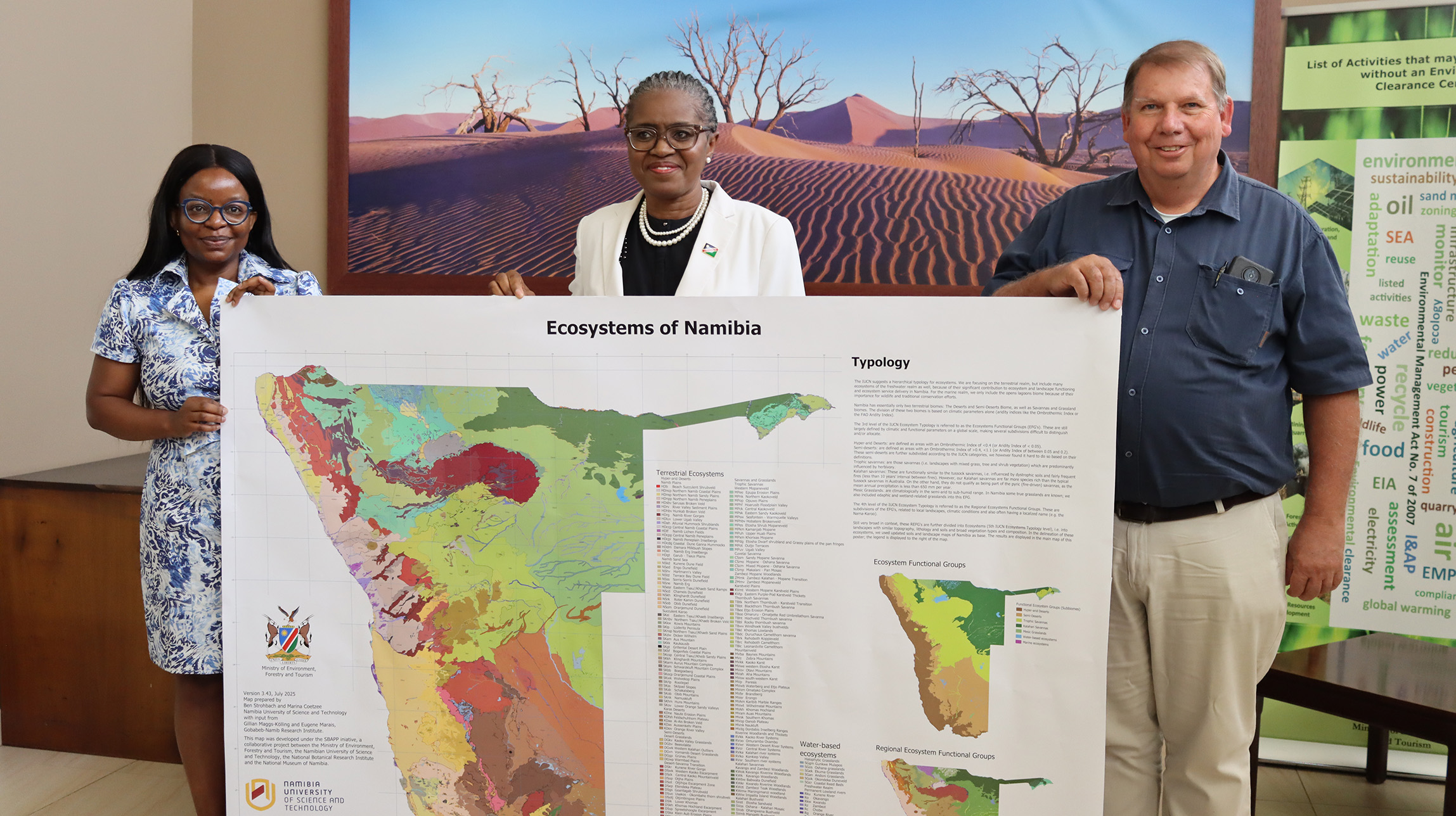
Mapping Namibia’s Biodiversity: First Official Ecosystems Map Launched
NUST is advancing innovation in biodiversity conservation and sustainable development with the launch of Namibia’s first official Ecosystems Map. Developed through the Spatial Biodiversity Assessment, Prioritisation and Planning (SBAPP) Regional Project, the map provides reliable scientific data to guide land-use planning, conservation, and economic development across the country.
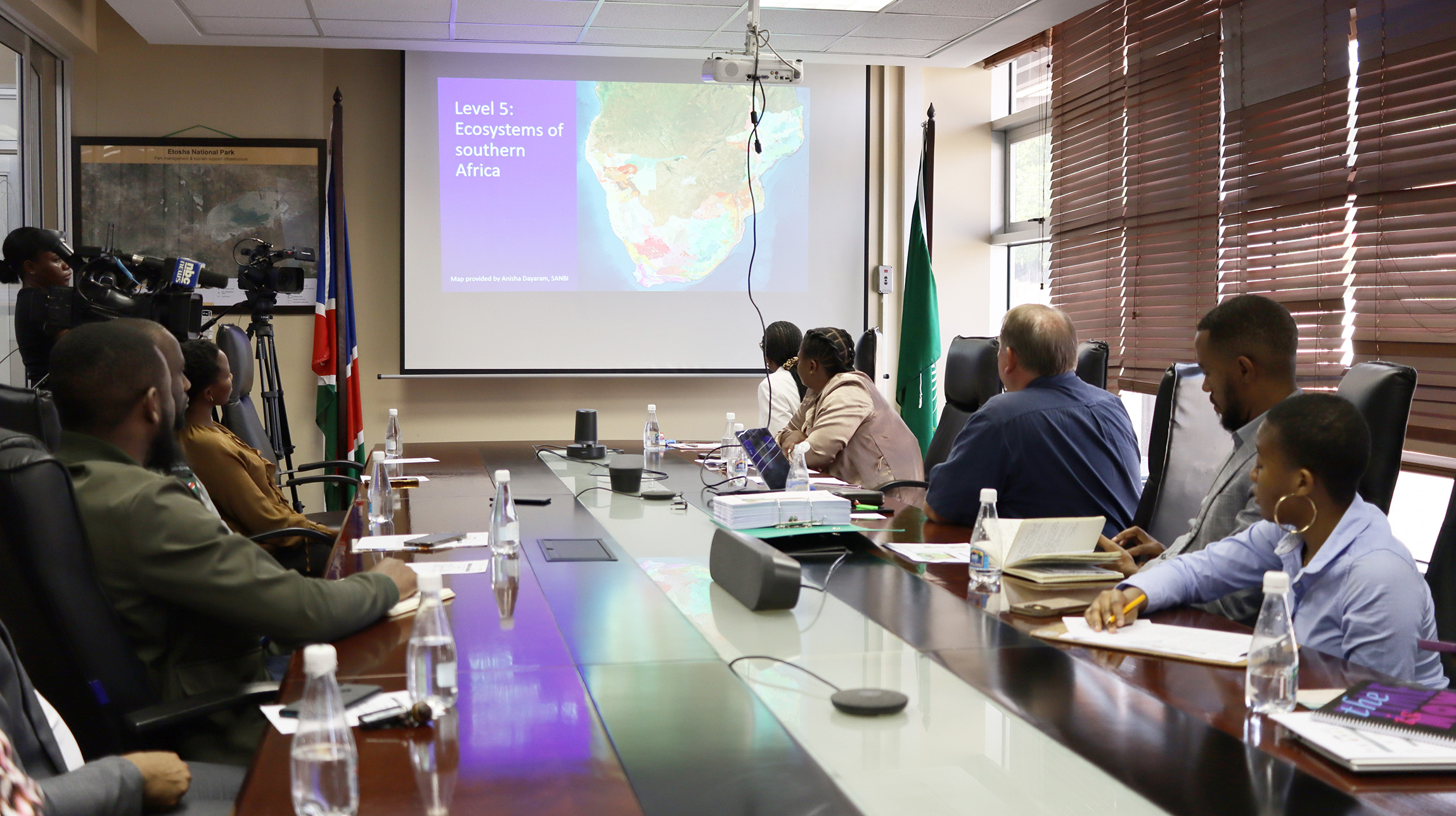
Launched by the Honourable Minister of Environment, Forestry and Tourism, Indileni Daniel, the map identifies 218 ecosystem types in Namibia, aligning local data with international standards. “This map is a strategic tool underpinning Namibia’s National Biodiversity Action Plan 2025. By identifying ecosystem types and their spatial distribution, it helps us prioritise areas for conservation, restoration, and integrated biodiversity land use, while guiding decision-making across sectors,” she explained.
Central to this achievement is Prof Ben Strohbach, Associate Professor in NUST’s Department of Natural Resource Sciences and Namibia’s Principal Investigator for the project. Prof Strohbach led a team of researchers and supervised 11 postgraduate students, strengthening local expertise and building capacity for future biodiversity research. “The Ecosystems Map lays the foundation for informed, science-based decisions in Namibia. It is a living document that will continue to grow and improve,” he noted.
For NUST, the project underscores the university’s role beyond academia—as a national partner shaping policy and providing knowledge that supports sustainable economic growth, natural resource management, and the preservation of Namibia’s unique biodiversity for future generations.
The Ecosystems Map is accessible here: https://doi.org/10.5281/zenodo.17218336